

SEVERE WEATHER ALERT

Weather Briefing for Albany, NY and Surrounding Areas
Issued by: National Weather Service
Date/Time: December 4, 2024, 4:45 PM
Overview:
A significant winter storm is impacting Eastern New York and Western New England through Thursday night, with potential hazardous conditions due to snow, strong winds, and snow squalls.
Key Hazards and Impacts:
-
Moderate to Heavy Snow:
- Impacts: Difficult travel due to snow-covered roads and reduced visibility from blowing snow.
- Location: Western and southern Adirondacks, western Mohawk Valley, Bennington and western Windham Counties (VT).
- Timing: Tonight through late Thursday night, affecting Thursday's morning commute. Snow transitions to lake effect and upslope snow by midday Thursday.
-
Light to Moderate Snow:
- Impacts: Hazardous travel due to snow-covered roads and blowing snow.
- Location: Schoharie/Central Mohawk Valleys, eastern Catskills, Saratoga/Lake George Region, and Taconics (NY), Berkshire County (MA), and Litchfield County (CT).
- Timing: Light snow becomes steady tonight, transitioning to upslope snow Thursday morning, lasting into Thursday night.
-
Snow Squalls and Strong Winds:
- Impacts:
- Dangerous whiteout conditions during squalls.
- Winds (40-50 mph gusts) may knock down tree limbs, cause minor power outages, and blow unsecured objects.
- Areas of blowing snow may reduce visibility and cover roads after initial snowfall.
- Location: All of Eastern New York and Western New England, with strongest winds in Mohawk Valley, Schoharie County, Capital Region, mid-Hudson Valley, Taconics, and Berkshire/Litchfield Counties.
- Timing: Windy conditions persist throughout Thursday, with snow squalls expected Thursday morning.
- Impacts:
Snowfall Forecast:
- High End: Up to 12 inches in localized areas with lake effect/upslope snow by Friday morning.
- Low End: Minimal accumulation in the immediate Capital District (under 2 inches) due to downslope effects.
Strong Wind Advisory:
- Timing: 7 AM to 10 PM Thursday.
- Peak Gusts: 50 mph in advisory areas.
Travel Advisory:
- Expect slippery and snow-covered roads, particularly during the Thursday morning commute.
- Dangerous travel likely during snow squalls due to rapid whiteouts.
BE PREPARED
-
 Power Outages
Get The Latest Outage Information From National Grid
-
 Severe Weather Forecast
Weather Updates From The National Weather Service
-
 Traffic Updates
Up To Date Information On Road Conditions
-
 Flight Status
Check Your Flight Status From Albany International
-
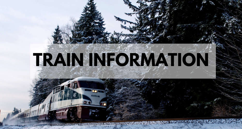 Train Updates
Amtrak Train Status
The Latest
-
 It's Official: Trader Joe's Opening Another Store in the Capital Region
Rumors have been swirling since January
-
 Easter Egg Hunts This Weekend In The Capital Region
Follow the bunny trail and crack open some fun!
-
 Uncommon Grounds is Now Brewing at Albany International
New option for Travelers as Uncommon Grounds Lands at Albany International
-
 Albany Announces New Location for Alive at 5 Concert Series
The city's signature free concert series starts June 5th
-
 ‘Bridgerton’ Star to Speak at Russell Sage College Commencement
Lucas Aurelio is a 2018 graduate
-
 [PHOTOS/VIDEO] Vandals Destroy Saratoga County Museum
The historic site was apparently ransacked over the weekend
-
 Two Popular Albany Restaurants Up for Sale
Interested in becoming a restauranteur?
-
 Saratoga County Road to Close This Week
Rowland Street to close at NY Route 29 in Milton this week as crews work to improve safety
-
 Useful Information To Get The Most Out of Wing Fest!
The 5th Annual Wing Fest returns to Amsterdam this Saturday!
-
 Capital Region Spins Into Record Store Day
Find some great ways to celebrate on Saturday April 12
-
 Open House to Discuss U.S. Route 4 Bridge near Schuylerville
NYSDOT wants to replace the Route 4 bridge between Greenwich and Northumberland.
-
 Police Surround Malta Apartment Complex, Building Evacuated
What we know so far
What's Happening
-
 B95.5 Concerts & Events
Stay up to date on the latest concerts and events in the Capital Region!
-
 Join Our Team
Come work with B 95.5
Events
-
Suicide Prevention: Talk Saves Lives
The Cohoes Public Library will be hosting a Suicide Prevention event - Talk Saves Lives.
at Cohoes Public Library -
Cohoes Public Library Construction Advisory Committee Meeting
The Cohoes Public Library will be hosting a Construction Advisory Committee meeting on Wednesday, April 23rd at 5:30 PM.
at Cohoes Public Library -
 Troy Earth Night Out
Join us on Friday, April 25, 2025 at 5 p.m. at Lucas Confectionary in Downtown Troy for a delightful evening of delicious drinks and food at Lucas Confectionery...
at Lucas Confectionery

